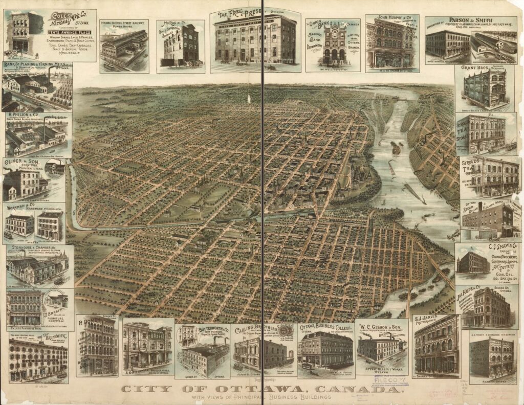
This site contains texts, images and analyses of five plans that were prepared during the first half of the 20th century for Canada’s Capital Region. The component plans are Preliminary Report for the Ottawa Improvement Commission, 1903; Report of the Federal Plan Commission on a General Plan for the Cities of Ottawa and Hull, 1915; Planning and Development of Lindenlea Garden Suburb, 1919; Federal District Plan, 1922 and General Report of the Plan for the National Capital, 1950. In addition, Links are provided to access the current plans for the National Capital Region, and some other related sources. The site supports the research project Lessons from Planning Canada’s Capital: 1800-2000 funded by Social Science and Humanities Research Council.
- Preliminary Report for the Ottawa Improvement Commission
- Report of the Federal Plan Commission on a General Plan for the Cities of Ottawa and Hull
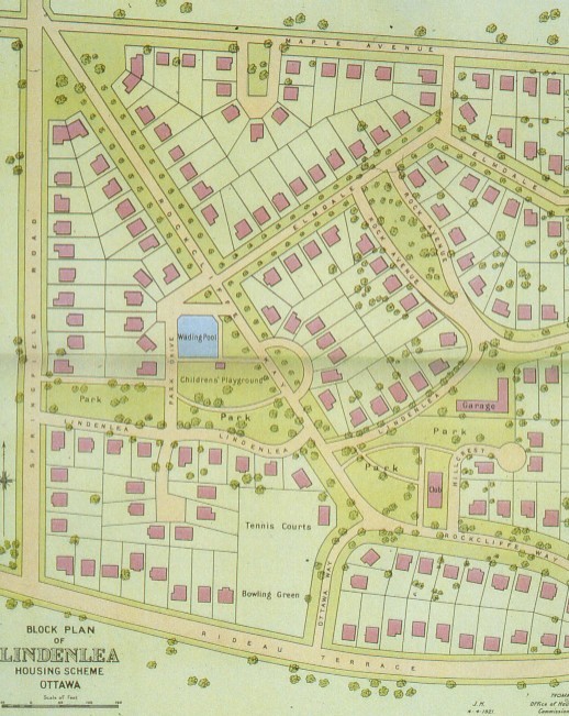
- Planning and Development of Lindenlea Garden Suburb
- Federal District
- Plan
- General Report of the Plan for the National Capital
- Current Plans for Canada's National Capital Region
Report of the Federal Plan Commission on a General Plan for the Cities of Ottawa and Hull

Year: 1915
Consultant: Edward H. Bennett


Credits:
This website was originally designed by Raktim Mitra School of Urban and Regional Planning, Queen’s University at Kingston during 2005-2007 with assistance from Dayna Lafferty, Department of Geography, Queen’s University at Kingston and E.I.V.P.’s Julien Sabourault (julien.sabourault@eivp-paris.fr), in Paris.
Original web pages of Preliminary Report to the Ottawa Improvement Commission, 1903 were designed by Geraldine Johnston, School of Urban and Regional Planning, Queen’s University at Kingston in 2003.
The project is supervised by Professor David Gordon (david.gordon@queensu.ca) Queen’s University, Kingston, Ontario, Canada
Funding by the Social Sciences and Humanities Research Council of Canada and the Chancellor Richardson Memorial Fund of Queen’s University.
2024 Website Update
1895 Ottawa Panoramic Map. Canadian GIS & Geomatics. (2019, November 21).